Capture, Document, and Protect
Elevate your projects with expert Drone inspection photo/video services that keep your projects safe, documented, and ahead of schedule.
Get a Fast, Affordable Quote Today
Detailed, Accurate, and Reliable Drone Documentation for Your Business
Safety+ provides professional Drone photo/video to meet OSHA, legal, and regulatory requirements, ensuring your project is documented thoroughly and accurately. From construction monitoring to real estate marketing, FAA-licensed Drone pilot Bruce Semonian delivers precision, efficiency, and peace of mind with his Drone inspection photo/video services.
How Drone Inspection Photo/Video Services Help Your Project
Improve Safety & Compliance
Clearly document equipment, structures, and job sites to fulfill OSHA and legal requirements efficiently.
Professional Marketing Materials
High-quality aerial photos/videos to boost advertising and promotional campaigns.
Save Time & Money
Drones inspect faster and more accurately than traditional methods, reducing downtime and overhead costs.
Trusted & Experienced
FAA-licensed Drone pilot and OSHA-certified Bruce Semonian is committed to safety, accuracy, and professionalism.
Enhance Project Management
Visual data available anytime, anywhere, allowing for real-time decision-making and improved stakeholder communication.
Our Drone Inspection Photo/Video Services Include
Construction Site Monitoring
Track and monitor progress with yearly, monthly, weekly, or daily photo/video updates, collect valuable data, and showcase your completed work.
Data Capture & Analysis
Create 3D models of construction sites or commercial properties to support advanced measurements and data-driven planning.
Documenting Insurance Claims
Preserve and document property damage as the property owner or evaluate a claim as the insurance investigator.
Drone Inspection Services
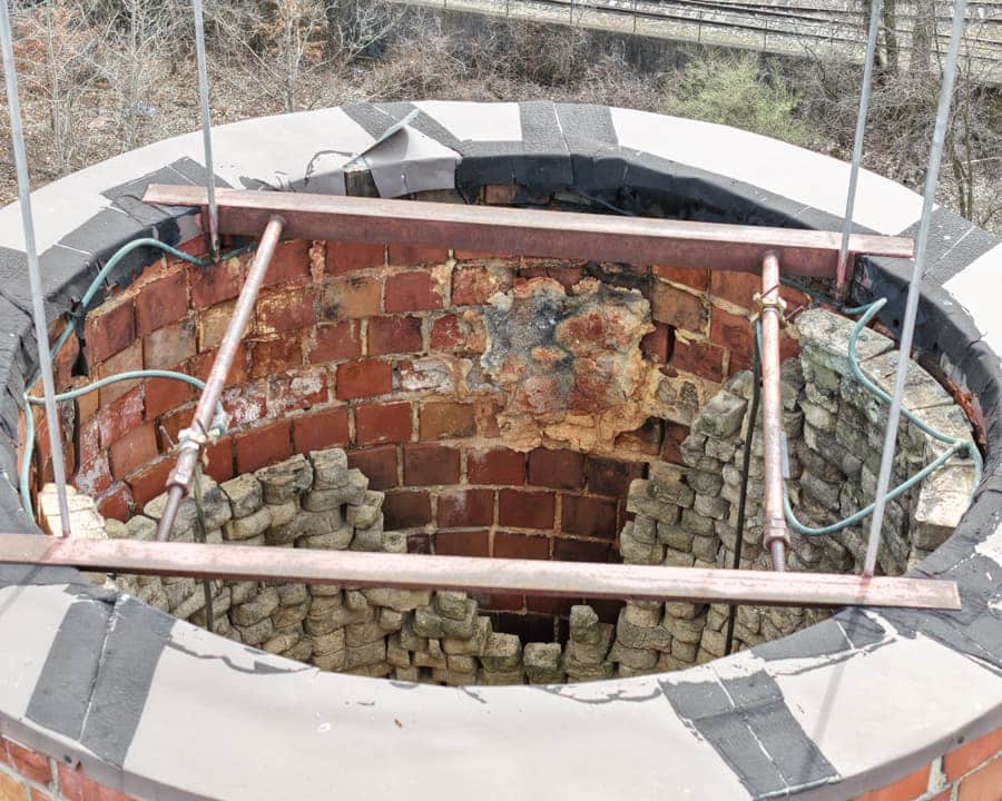
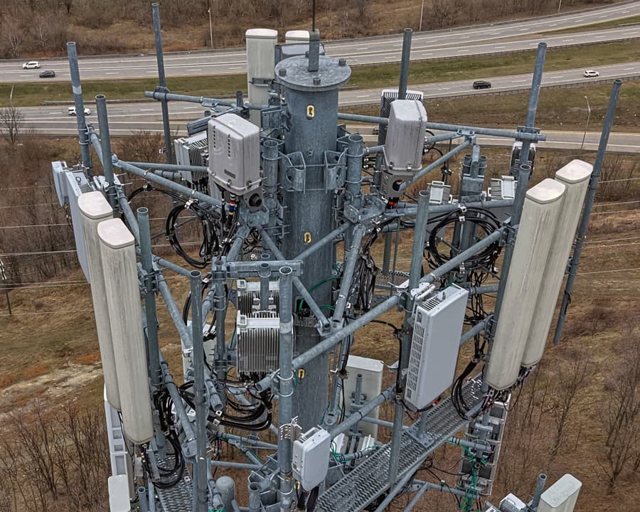
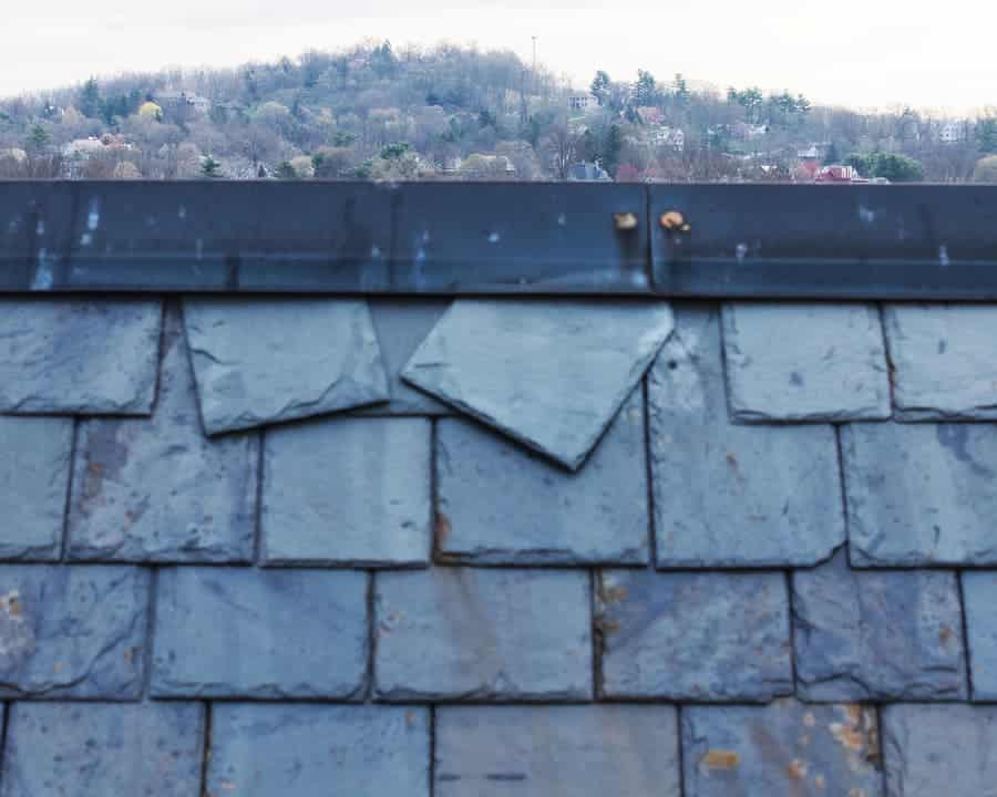
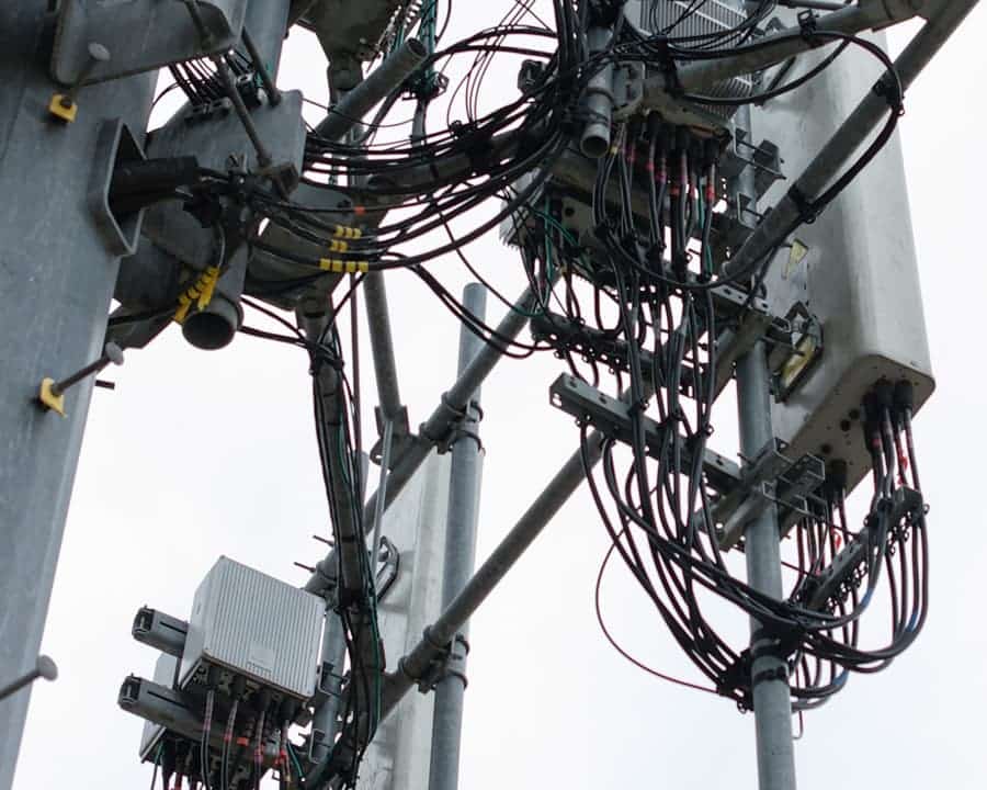
Get high-detail photos to support informed, timely decisions on equipment, structures, and buildings.
Orthomosaics & Aerial Survey
Orthomosaics turn Drone imagery into high-resolution photographic maps, delivering accurate data for construction, environment, urban planning, disaster response, and infrastructure.
Residential Real Estate
Sell listings faster with stunning aerial imagery that grabs attention and attracts premium buyers.
Commercial Real Estate
Highlight property features, locations, nearby amenities, and access points to appeal to clients, investors, and tenants.
Advertising & Marketing
Dynamic visuals for contractors, real estate pros, and marketing teams.
Events & Celebrations
Capture unforgettable aerial footage of weddings, community events, and corporate gatherings.
FAA Licensed Drone Pilot for Hire
Bruce Semonian is also available to operate your Drone safely and professionally.
Our Easy Three-Step Process
1: Tell Us About Your Project
Describe your project and what kind of Drone inspection photo/video services you are interested in and what footage or photos you want captured.
2: We'll Schedule a Flight
Once we confirm the details, we’ll schedule the shoot at your location and conduct the Drone inspection photo/video services to meet your requirements and expectations.
3. Download Your Aerial Imagery
You’ll receive your fully edited Drone photos/videos within 72 hours of the shoot. (Premium rush projects are available upon request)


